Our geomatics surveys map your land accurately, revealing potential obstacles and ensuring a smooth project flow. Whether you’re developing land, planning construction, or anything in between, an accurate survey is crucial.We use cutting-edge technology to capture detailed information about elevation, Boundaries and underground features.
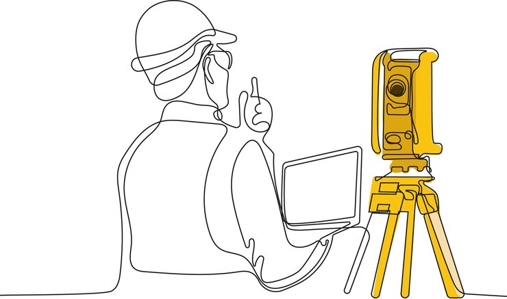
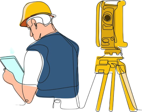
Unveiling the subsurface: Precision Geomatics survey
In the realm of land development and infrastructure project, a comprehesive understanding of the underlying terrain is paramount. This is where the invaluable role of geomatics surveys comes into play. Employing a synergistic blend of advanced technologies like GPS, Total Stations, and terrestrial Lidar, our team of highly skilled geomatics professionals meticulously captures a wealth of spatial data about your project site.
Our comprehensive geomatics surveys provide a detailed and accurate representation of the existing conditions, encompassing:
Precise Boundary Delineation
Detailed topographic mapping
Subsurface utility locating(SUL)
3D Site modelling
The benefits of incorporating precise geomatics surveys into your project are multifaceted:
Risk mitigation
Improved project efficiency
Enhanced communication
Enhance decision making
GEOMATICS SERVICES
Land Surveying Drafting
Our land surveying Drafting services utilized computer-aided design(CAD) software to transform field survey data into high-quality, technically accurate deliverables.
Our Land development services go beyond just clearing a plot. We’ll guide through every stage , from feasibility studies and permitting to infrastructure like roads and utilities.
GIS goes beyond traditional maps. We take complex data sets anything from demographics and environmental factors to land use and infrastructure & weave them into interactive maps.
Our comprehensive Lidar and photogrammetry services provide highly accurate 3D point cloud data and digital surface models (DSMs) of your project site.
Our ALTA/NSPS survey are the industry standard, providing the clarity you need. Get precise boundaries, detailed features, and lender approval- all in one comprehensive package.
Our Detailed surveys map more than just boundaries. We capture elevations, slopes, & hidden features, giving you a complete picture of your land’s potential, measure elevation of various point across site.
We prioritize precision in every aspect of our work. our team of skilled professionals utilized advanced software and rigorous quality control measure.
Transparency
We believed in open communication. You'll always be kept in the loop, with regular updates and clear milestones. We're here to answer your questions and address your concern.
On-time Delivery
We understand the importance of timely delivery. employ efficient workflow and project management techniques to ensure your project are completed on schedule.
3-stage quality check
Your project goes through a rigorous 3 stage quality check process. Our team meticulously review every aspect of the CAD drawings, identifying and rectifying issues.
Scalability
Our team is adept at handling projects of all sizes & complexities. Whether you require a small modification or a large scale, we have the expertise & resources to scale
Software we used to delivered our best
We are focused to deliver excellent work where our customers can succeed & thrive.
Subscribe to our Newsletter
Sign up for our weekly update and be the first to know about what new services we have for you.